Membership renewals open for 2024 - Click here
Event Address
Event Start
Event End
Event Details
Pre-stack Depth Imaging: Challenges in exploration-scale volcanic geobody model-building in the Potiguar Basin, Brazil
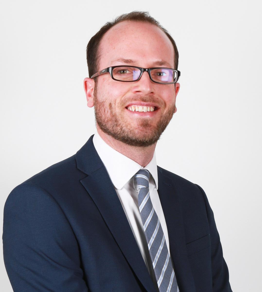
Rich Bartlett, Shearwater GeoServices
Register here: https://us02web.zoom.us/webinar/register/WN_PRBuo4cySDixmFf5QwTLMQ


The Potiguar Basin includes the largest oil-producing region in Equatorial Brazil, where production is from the syn-rift to transitional successions. The Pitu well in the deep-water offshore part of the basin found oil, gas and condensate at depths of 4,300m in Upper Aptian sands of the Alagamar and Pescada Formations.
A 10,500 km² 3D survey was acquired in 2019 and seismic processing through PSDM imaging was initiated. The presence of high velocity volcanics in the sedimentary sequence presents unique imaging challenges for Pre-Stack Depth Migration (PSDM). By their nature, volcanic geobodies have a varying thickness, velocity fill and extent, and require detailed interpretation to be represented accurately in a PSDM anisotropic model. This talk will present an iterative and efficient methodology to interpret and refine volcanic geobodies with examples from this exploration-scale PSDM survey.

Rich Bartlett, Depth Imaging Manager from Shearwater GeoServices. Rich graduated in 2002 from the University of Leeds UK and Queen's University Canada with a Masters In Geophysics. He spent his early career as a Geophysicist at Veritas DGC with various roles in the Depth Imaging teams in both London and Calgary offices, moving through the various incarnations of CGGVeritas and CGG. This was followed by 3 years consulting with Monarch Geophysical Services on a range of marine and land acquisition and processing projects before moving back to the frontline with Dolphin Geophysical in 2013, and latterly with Shearwater GeoServices. Rich has helped build Shearwater's Depth Imaging capabilities from scratch, with Shearwater now offering a wide range of inversion and imaging services behind its vessels and to the open proprietary market.
